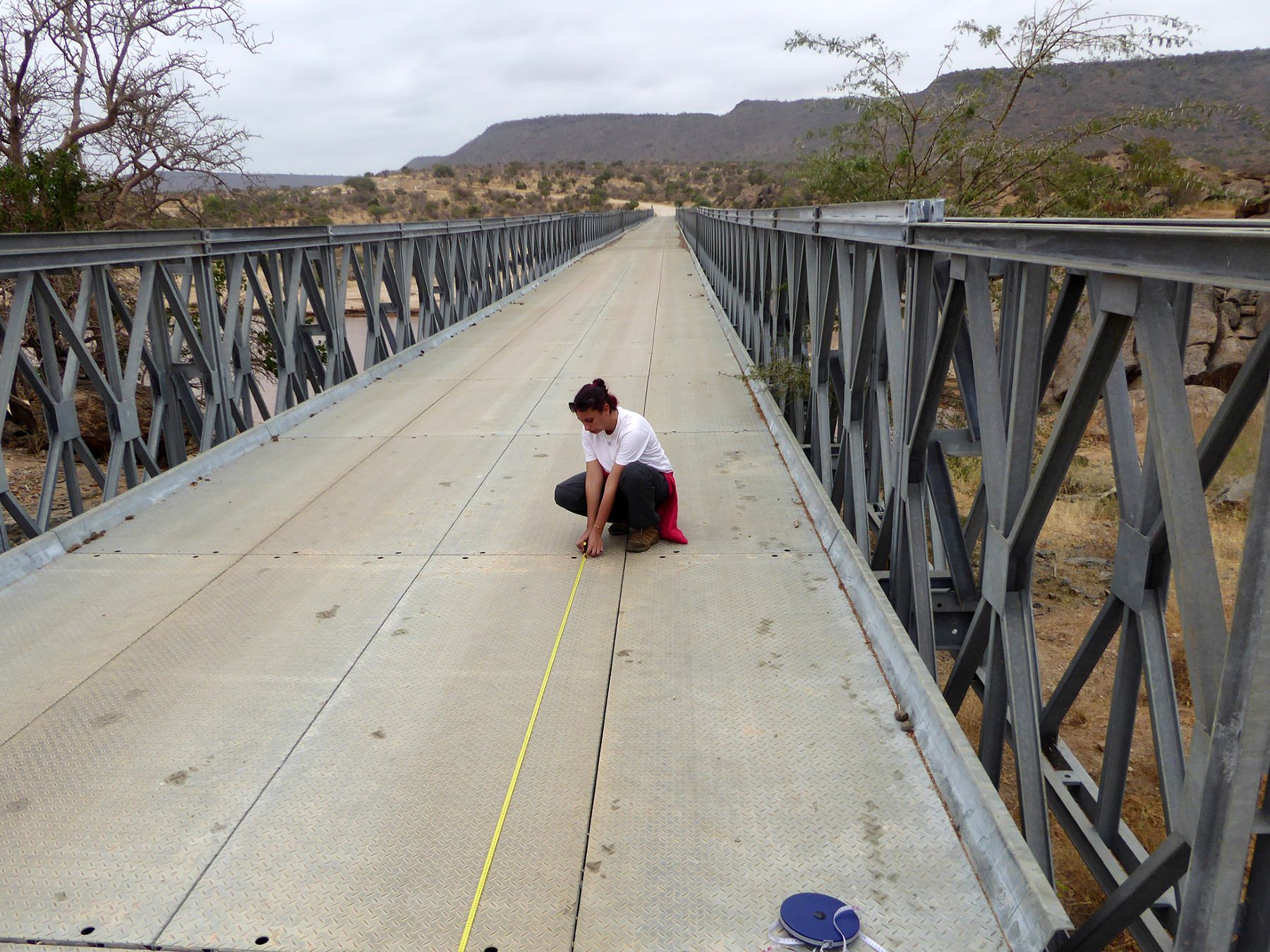
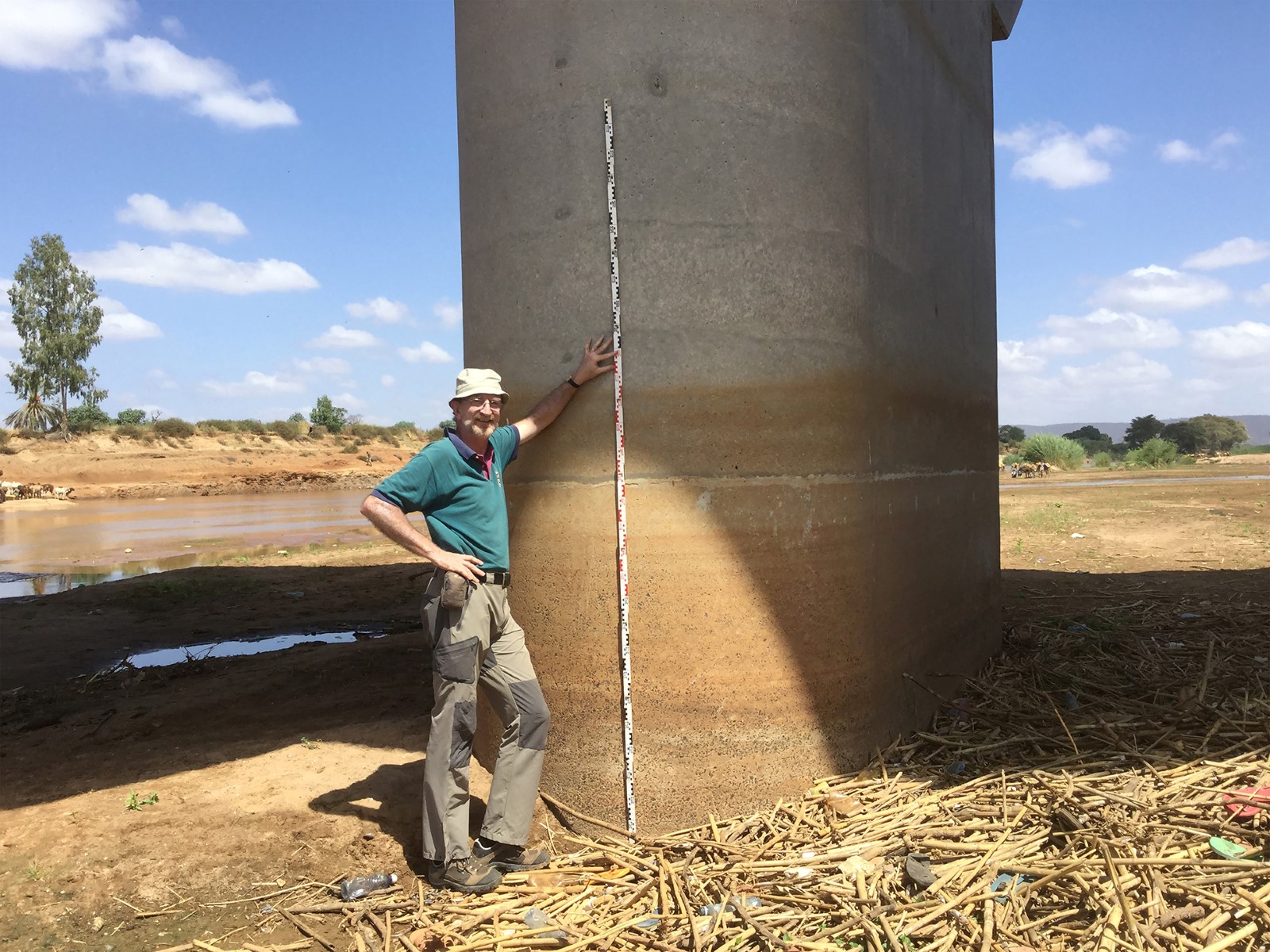
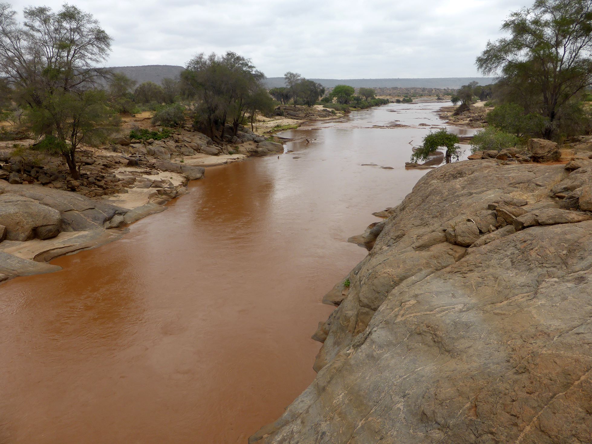
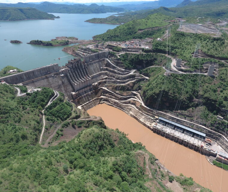
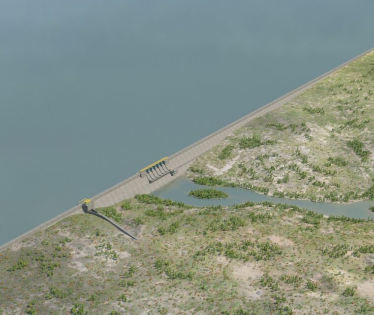
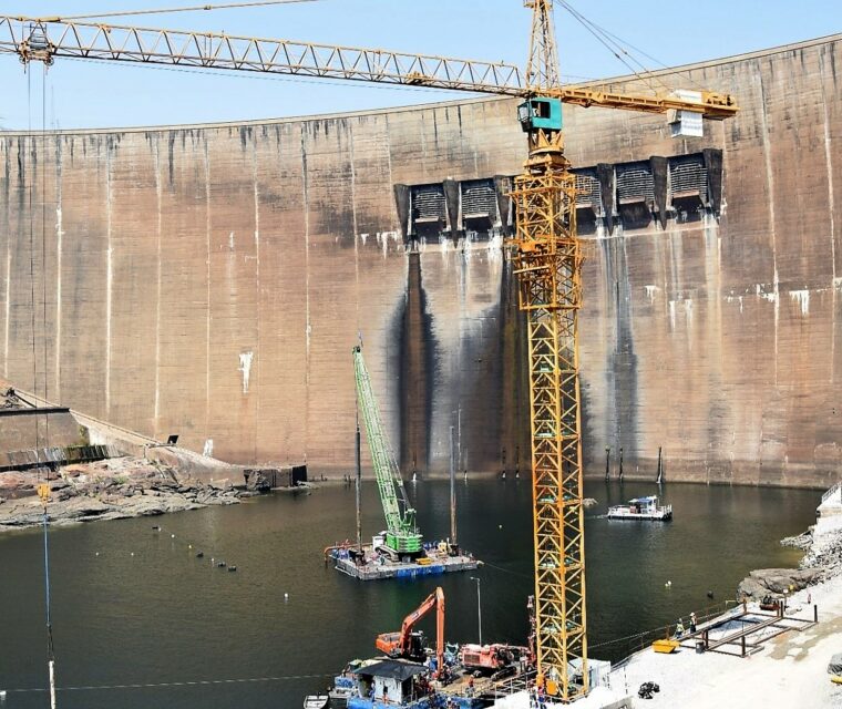
Dam break analysis and emergency preparedness plan Thwake is a multi-purpose dam designed to increase water storage for rural and urban domestic use, irrigation, livestock and for hydropower with a principal focus on the semi-arid counties of Kitui and Makueni where the dam is located. At least 1.3 million people are expected to benefit from the Thwake Multi-purpose Water Development Program (TMWDP). Thwake Dam is a rock-fill dam characterized by an impervious concrete face, 80.5 m in height, with a crest at 920.5 m a.s.l. The foreseen reservoir storage volume is 688 Mm3. The first part of SP’s assignment consists in identifying the hydraulic parameters to design the hydraulic works in order to evaluate the probable risk of overtopping failure of the dam. This represents the main cause of the collapse of the rockfill embankments, such as Thwake dam. The second and most important part of this study includes the dam break analysis. For the dam break study, SP used cutting-edge technologies which remarkably improve the accuracy and quality of our work. SP has always been engaged in searching for ever more advanced technologies, sharing a working philosophy based on the respect for lessons from the past but always with an eye towards the future. The main two tasks of the above-mentioned dam-break analysis are the evaluation of the flooded areas after the failure of the rockfill dam, and the evaluation of the arrival-time of the flood-wave in that area, in order to assess and implement a flood management plan, together with opportune methods to prevent major damage. PLACE CLIENT YEAR Kenya
Thwake Multi-purpose Dam
Kenya
Thwake Multi-purpose Dam
Makueni and Kitui districts - Africa
The Principal Secretary Ministry of Water & Sanitation
2019 - in progress
Main Features
Kenya
Thwake Multi-purpose Dam
Engineering
ServicesReview of the design criteria of Thwake Dam
Dam Break studies
Emergency Preparedness Plan for Thwake Dam
Inundation Mapping Analysis
